Blog: Geocaching to Schafböndl (2012-06-29)
While I'm not particularly addicated to geocaching, I already enjoyed finding some caches. Those I looked for so far were all in the wilderness (as opposed to somewhere in the middle of a city), and thus especially awesome! Today, I went after a cache on Schafböndl in Hieflau. This is a small peak which looks quite interesting from below, and thus I decided to go there at some time—it was nice to find out that there's also a geocache in addition. Note that Schafböndl is marked on OpenStreetMap, and also all the pictures below have geotags applied, if you're interested where this exactly is.
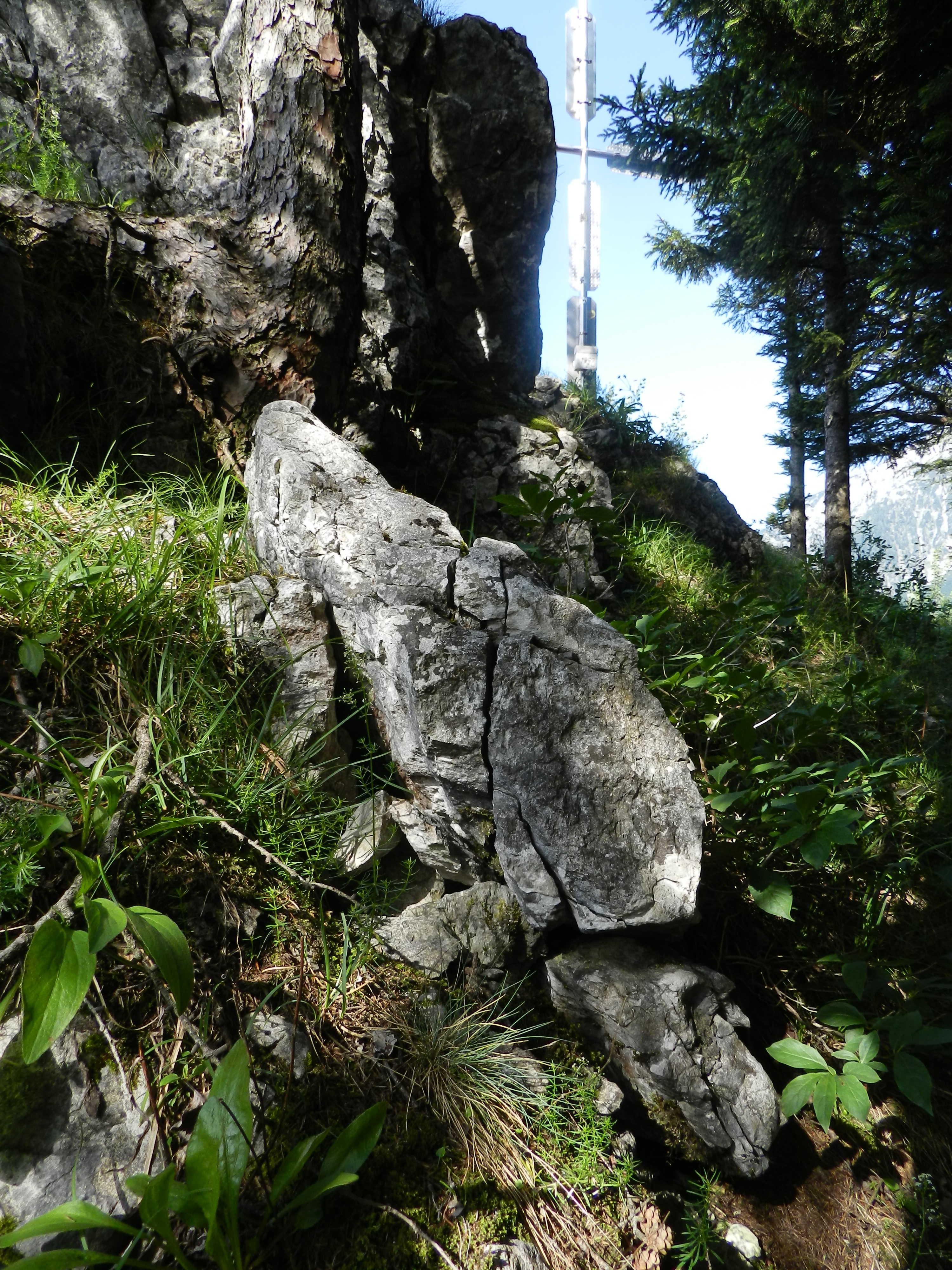
It was a very nice trip and I can really recommend this cache! As can be partially seen on the photos, the last part of the way up to the top is quite rocky and exposed. There is even a steel cable, but no real climbing required. Afterwards, I also explored some small paths in the vicinity to map them for OpenStreetMap. Doing this reminds me often of exploration in computer games, and it always strikes me that trying out different forks of the way and the like feels completely the same in reality as it does in virtual worlds.
It is interesting to note that at the time of me writing this, almost the only hiking path marked in OpenStreetMap around my trip is the way to Schafböndl—while there are also other ways, which are wider, more frequented and probably in general more important to the people there. My theory is that this path was marked by one of the other geocachers....
Here are the photos, in chronological order:


 down in the valley.")
I also have a picture of the cache's hiding location, but since I believe this is a really nice geocache and don't want to spoil everybody's fun finding it for themselves, it is not shown above with a preview.
And finally, since I'm fascinated by the technique (and how easy it is to do just with a simple camera and Gimp), two pictures of the top as red-cyan anaglyphs:


Copyright © 2011–2019 by Daniel Kraft — Home — Contact — Imprint